60+ Years of Surveying Experience
Staying on the Cutting Edge of Survey Technologies
Reality Capture
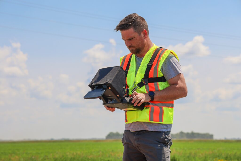
Reality Capture Services
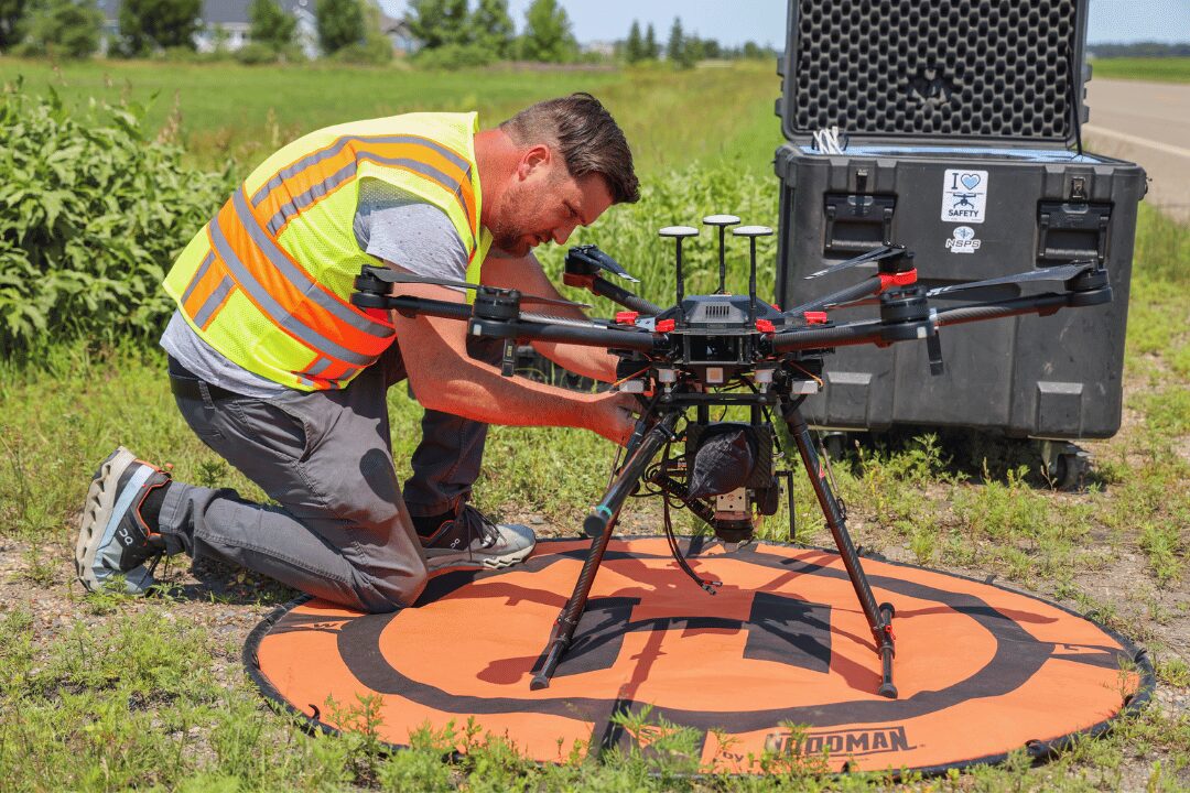
LiDar (Light Detection and Ranging)
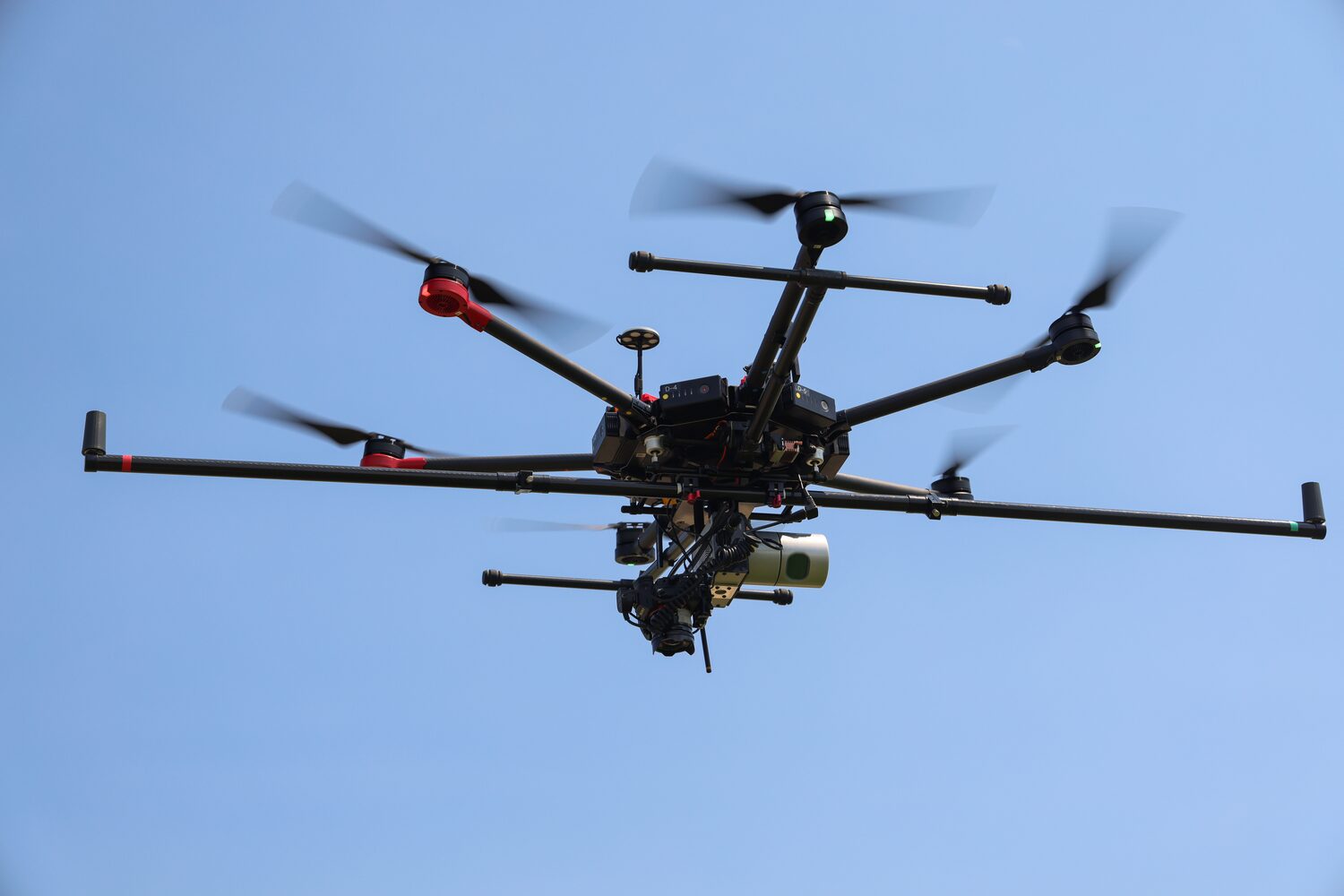
LiDAR uses laser technology to quickly and precisely collect data for applications such as drone and vehicle-mounted surveying, utility plotting, asset management, surface creation, and topographical mapping.
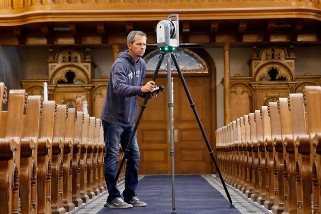
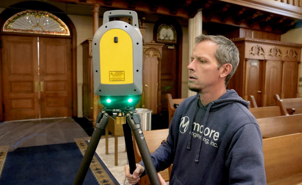
3D Laser Scanning
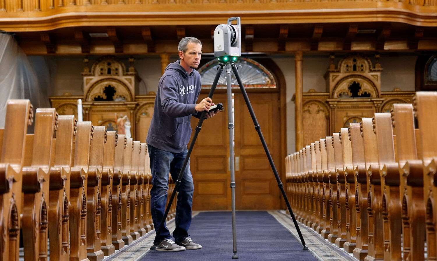
This technology captures highly detailed site measurements to create accurate 2D drawings or 3D models, ideal for documenting as-built conditions for remodeling or additions.
Photogrammetry
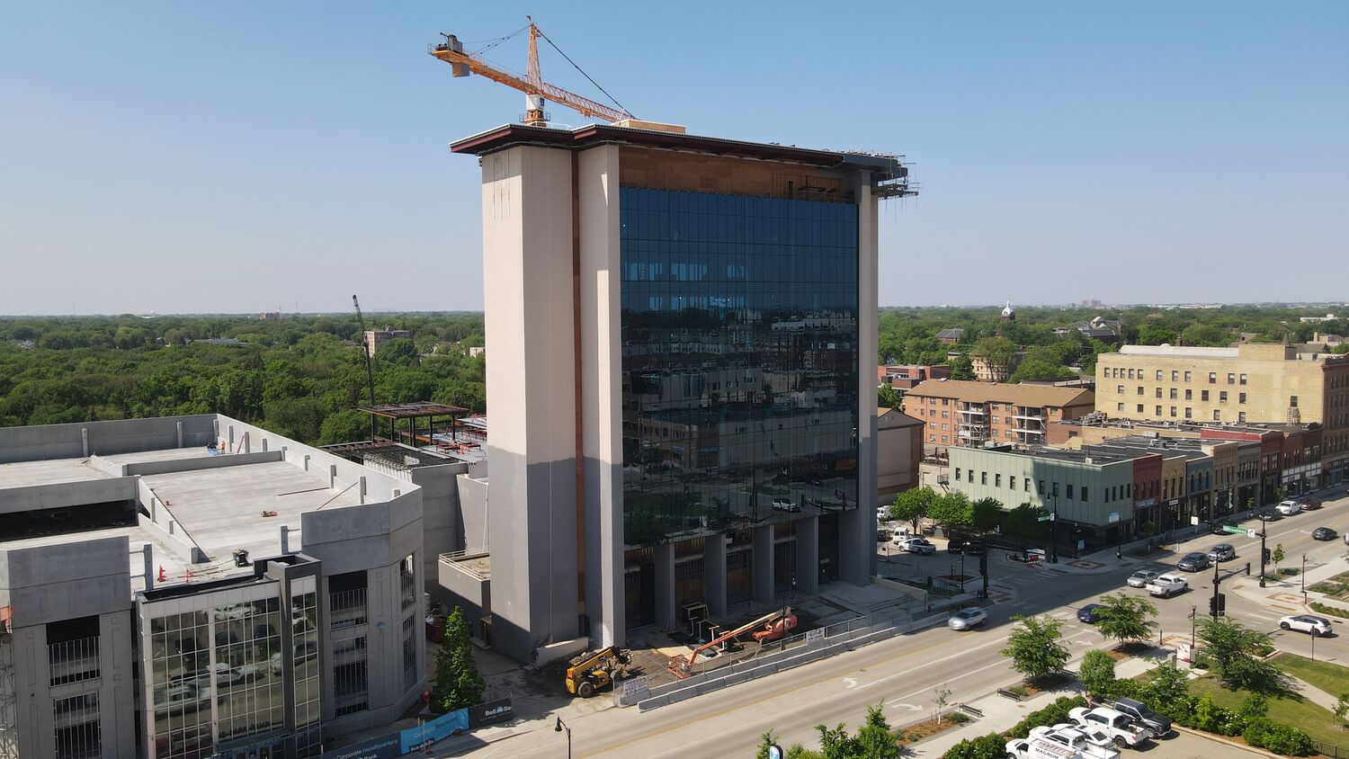
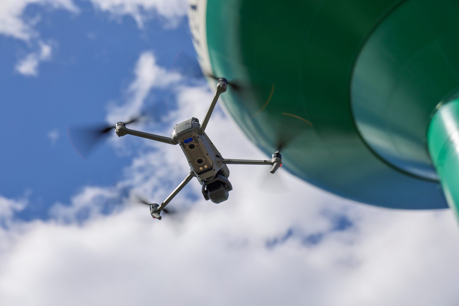
By combining high-resolution images, photogrammetry produces digital models for aerial mapping, topographic contouring, and tracking construction progress.
Thermal Imagery
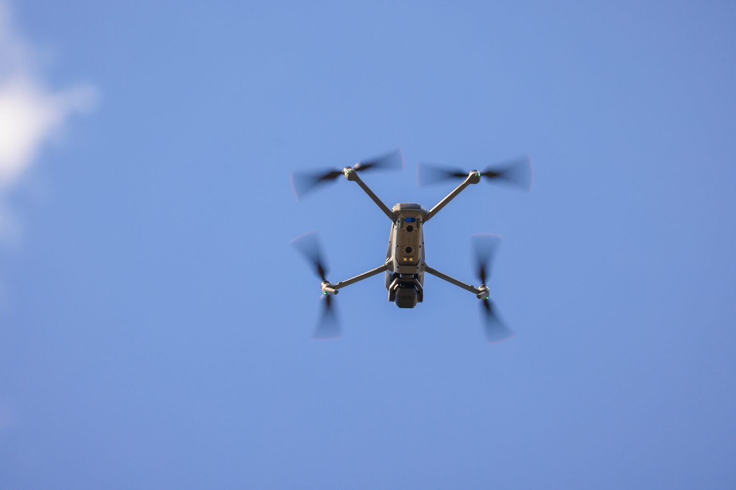
Thermal imaging detects temperature variations to identify issues like insulation problems, water leaks, or electrical hotspots, with applications in solar array inspections, structural monitoring, and search-and-rescue operations.
Bathymetric Surveying
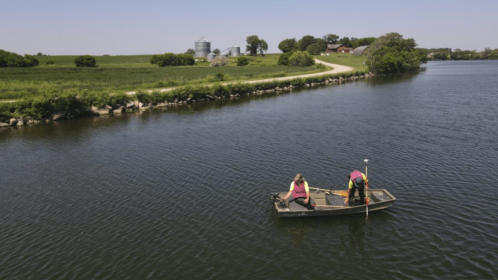
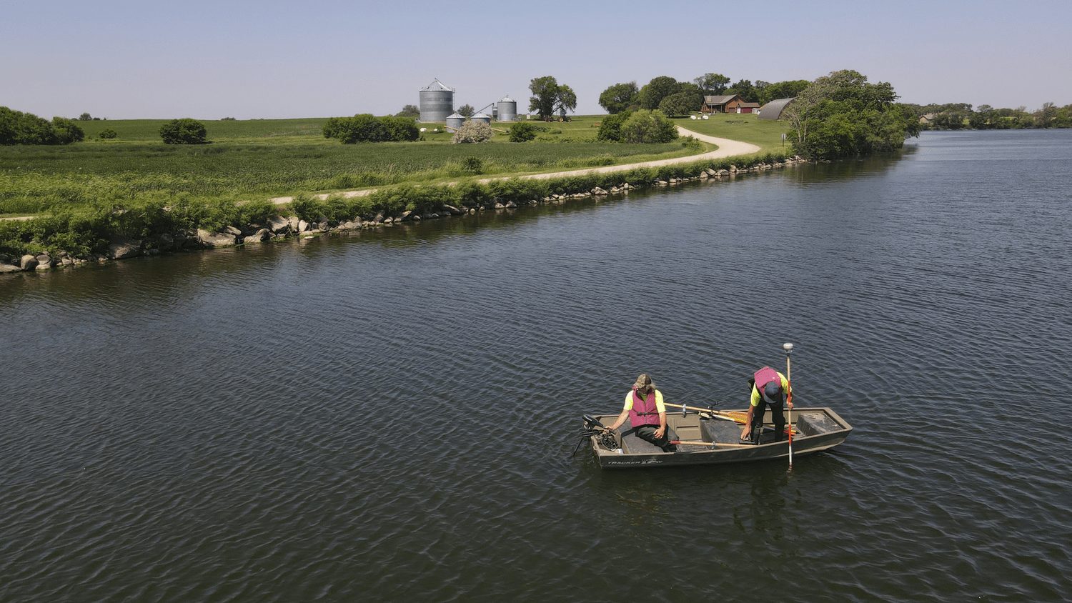
Using drone-mounted echo sounders, bathymetric surveys map underwater terrain and calculate volumes, providing data on sediment depths and bottom elevations for ponds, lakes, and other bodies of water.
Structure Inspection
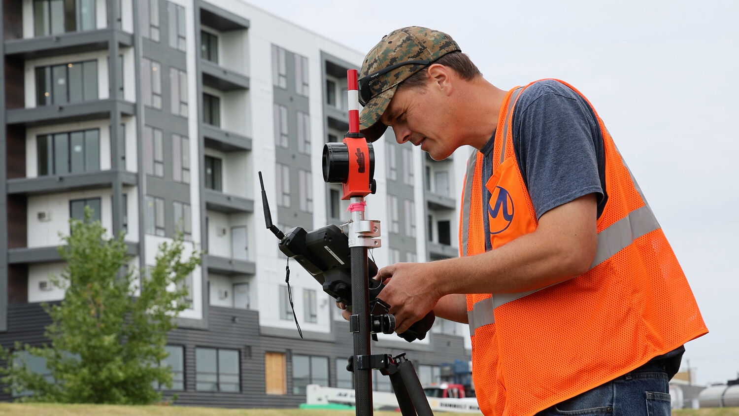
Comprehensive inspections evaluate the integrity of structures such as wind towers, power poles, and substations, with solutions for hard-to-access or remote areas.
Magnetometer Services
Magnetometer technology detects subsurface utilities or features by measuring variations in Earth’s magnetic field.

POLLi Software Integration
POLLi combines drone data with AI to monitor biodiversity and vegetation across large areas, supporting conservation efforts and environmental mapping.
Some of Our Best Work
Collaboration Across Four Sectors
